

")

Our pattern has stayed largely stagnant over the past couple of weeks, with plenty of sunshine. However, WABBLES looks to enjoy some slightly milder air heading our way as a ridge of high pressure works into the region.
Inching Toward Milder: Friday and Friday Night
Following a week in which we struggled to make it to 60º for daytime highs at times, we’re certainly not going to complain about the potential for some milder air working back in.

Friday looks to be the first of such days as a ridge of high pressure settles into the region, bringing us slightly milder air to go along with the brilliant sunshine…even after some early patchy frost in the morning.
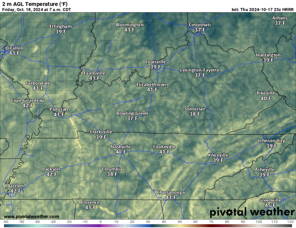
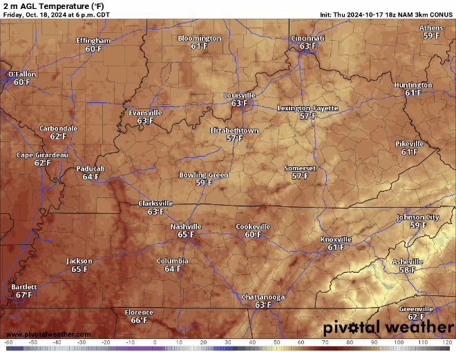
After mid 30s overnight, we’ll rebound nicely into the upper 60s and into the lower 70s by the afternoon hours, with the aforementioned sunshine and plenty of dry air in place. That dry air, though, does mean that has the Friday night lights come on, things will get chilly in a hurry! We look to be in the upper 50s at kickoff falling into the upper 40s by the final whistle. Grab those jackets if you’re heading out to the gridiron!
Warming Weekend: Saturday and Sunday
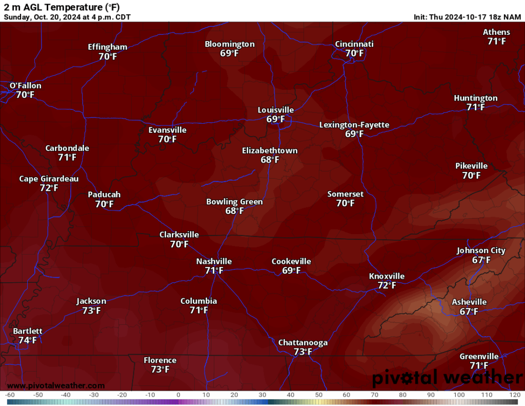
Our ridge of high pressure continues to dominate the forecast into Saturday and Sunday with pleasant, milder days, and clear, chilly nights.

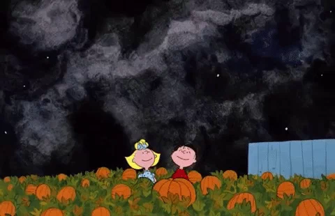
Sunshine on Saturday should once again drive our highs up into the lower 70s during the afternoon hours. Just pleasant as could be for this time of year! A windows open on the way to the pumpkin patch type day around the region!
Overnight lows will be appropriately spooky, though not aggressively so for this time of year. Clear skies and calm winds mean radiational cooling gets to do its thing and drop us back into the lower to middle 40s for overnight lows. I can’t rule out more patchy frost in our especially sheltered valley locations, but we’ll back off the widespread frost threat for a bit early in the weekend.
Sunday looks, you guessed it, similar!
High pressure remains in place heading into Sunday afternoon as warm air continues to move on into the region. This means highs are back in the 70s during the afternoon, and perhaps some middle 70s!
However, the air remains dry overnight as lows look to settle in the middle 40s to finish out the weekend.
Pattern Change Approaching?: Into Next Week
Monday continues to look dry and warm as high pressure remains in place. Highs look to remain in the middle and upper 70s as our pattern looks to change at least a touch.

We’ll watch a blocking pattern try to set up across the eastern third of the nation, which should continue to keep us dry and mild through at least Wednesday or so as highs continue to climb back toward 80º or so.
We’ll try to bring perhaps a few rain chances back to the region as we head into the middle and end of next week, but the pattern generally continues to favor dry and slightly warmer than average weather into next weekend.
That’s it for me for now! You can always keep up with the latest on all of our social media platforms. Have a tremendous day and a great weekend!