

")

Spooky season has arrived, but there’s nothing spooky about WABBLES’ weather for a change, with only small chances for rain in the forecast through the weekend.
Settling Into the Weekend: Friday and Friday Night
High pressure continues to dominate the weather picture as the first majority-October work week comes to a close.

We do look to see plenty of sunshine as we head through the day as our cool, dry airmass continues to hold court across the region. Our only weather complication appears to be the potential for some morning fog to keep us socked in early. But brilliant sunshine will help burn that off as highs work up into the lower to middle 80s in the afternoon.
Friday night football looks quite nice, as temperatures fall through the 70s and into the 60s as things get underway on the gridiron. Overnight lows are down near 60º thanks to the dry air in place.
Weekend Forecast: Saturday and Sunday
High pressure will scoot on off to the east as we head into the day on Saturday. That shouldn’t change our sunny skies at all, but will keep it slightly milder as we head through the afternoon hours. Highs look to make it back into the lower to middle 80s during the afternoon hours.
Drier, and less humid conditions continue for any outdoor plans that you may have as we head through our Saturday afternoon.

A few clouds may try to sneak in overnight on Saturday into Sunday as a weak disturbance tries to push into the region.
However, with the air as dry as it is, I wouldn’t expect much in the rain department. Overnight lows are back into the upper 50s to near 60º or so.
Mostly sunny skies continue on Sunday as this weak disturbance passes through. I mean, we might see a few more clouds, but nothing that should interrupt any outdoor plans on Sunday. Highs should stay nice, in the lower 80s or so. Some of those clouds will stick around into the overnight hours, we’re back into the middle 50s overnight.
Consistency Into the Work Week
We’re keeping things consistent as we head into the new work week, with high pressure staying in place through the week. That should keep plenty of sunshine in place.

The difference, however, is that the disturbance that works through on Sunday night is going to really bring refreshing temperatures back into the region. Heading into Monday, some spots may struggle to get out of the 60s! For highs!
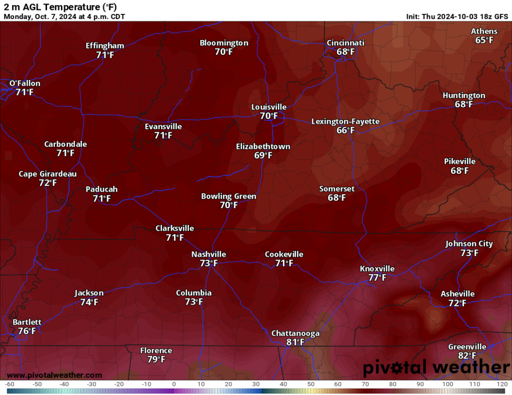
Most will wind up near 70º, though, as sunshine continues unabated. Overnight lows start to look more like October as clear skies and dry air will keep us in the middle 40s for the overnight hours.
That theme looks to continue as we head into the midweek, with highs holding in the middle 70s, and lows falling back into the middle 40s during the overnight hours.
Past that, attention turns to the Gulf of Mexico yet again as some tropical rumblings may be afoot. It’s still a bit too early to tell, but we’re going to keep an eye on it even as our pattern turns more fall-like through mid-month.
That’s it for me for now! You can always keep up with the latest on all of our social media platforms. Have a tremendous day and a great weekend!