

")

WABBLES coming off a week in which the dog days were barking right back at us, with temperatures soaring into the 90s and heat indices dreadfully approaching 100º. We’re in the market for some relief! Thankfully, it looks like we’ll see some this weekend.
Into the Weekend: Friday and Friday Night
We have spent the week sitting under the heat dome ridge of high pressure settled to our south and west. For us, that equals plenty of heat and humidity. It’s not going anywhere quite yet, however.

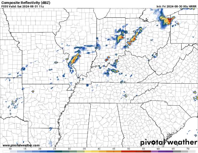
We should start to see things break down bit-by-bit as we head through the afternoon and evening hours. This won’t bring us any relief from highs in the middle 90s with heat indices near the century mark, but it will bring us some potential for scattered showers and storms.
These wouldn’t last very long, but could pack a short-lived punch with some brief gusty winds and heavy rain. It’s something we’ll keep an eye on. The mugginess continues into the overnight hours as we continue to watch the mugginess dominate the weather picture. Lows only fall back into the lower 70s.
Warm and Potentially Wet Long Weekend
We’re not significantly cooling things down any time soon, but it does look like that by Saturday we’ll start to knock the edge off the heat a little bit. We’ll be watching weak disturbances in the flow start to sneak on into our hot and humid airmass. That would lead to more blossoming afternoon showers and thunderstorms.
Outside of showers and storms, we’re keeping warm and muggy, though not quite as warm. Some scattered cloud cover should keep temperatures in the upper 80s. So, slightly above average instead of aggressively so. Take a win where we can get it, right?

Mugginess continues overnight, but not quite to the level we’ve been dealing with. As scattered showers and storms diminish, we’ll settle back to partly cloudy skies as lows level off in the upper 60s to near 70º.
More of the same expected as we head into Sunday.

We’re slowly attempting to break down the high pressure we have in place over the region. And while it looks like we’ll break it down enough to include spotty shower and storm chances, the heat just doesn’t want to quit.
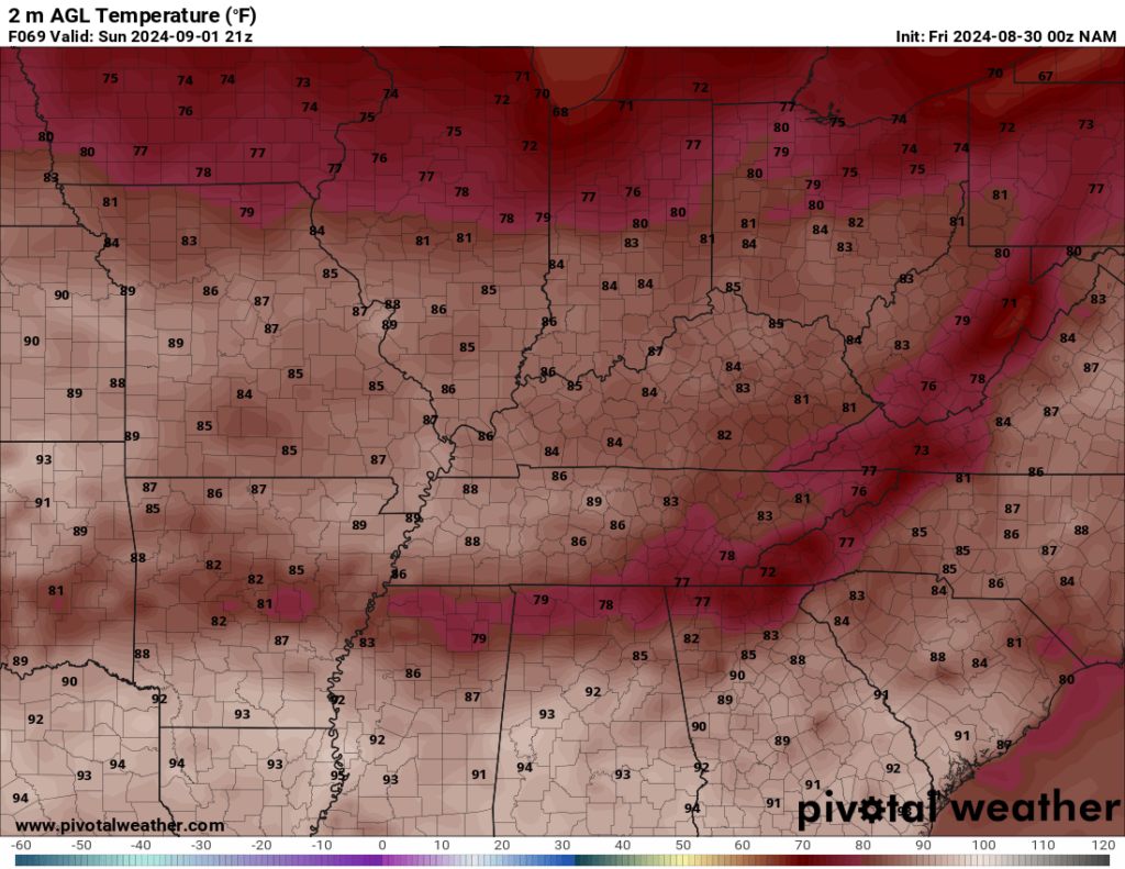
Any shower or storm will give us relief from otherwise warm and muggy temperatures. Highs continue to top out in the upper 80s to near 90º or so outside of the serendipitous storms bubbling up. Similarly to Saturday, we’ll slowly wind the showers and storms down as we finish up the weekend on Sunday night. Lows tumble back into the upper 60s to near 70º.
Into Next Week: Relief on the Horizon?
Our latest storm system begins to push out of the region as we head into the end of the long weekend on our Labor Day Monday. This is setting up shop for absolutely beautiful weather.

High pressure of Canadian (eh?) origin looks to build into the Great Lakes region, which will funnel cooler and drier air into the Ohio Valley for the early part of the short work week. We’re talking lower to middle 80s for highs as sunshine takes back over. Clear skies overnight combine with dry air to really help temperatures drop into the lower 60s overnight.
Similar story with Tuesday, with maybe a couple extra degrees on the ol’ thermometer in the afternoon. Otherwise, sunshine and nice feels with highs in the middle 80s. We may try to kick up a storm or two by midweek, but so far doesn’t appear to be anything big on the horizon, storm-wise or heat-wise…so get out and enjoy it!
That’s it for me for now! You can always keep up with the latest on all of our social media platforms. Have a tremendous day and a great weekend!