Another day, another severe weather risk across WABBLES. It’s the broken record forecast that keeps on giving. If we can take away anything, at least our drought conditions have greatly improved. Check out the hail produced from yesterday’s activity over Barren River Lake:
We’ll start off our Saturday under partly to mostly sunny skies. It’s very warm and muggy already, with temps & dewpoints hanging between the upper 60s & low 70s. This afternoon, highs return to the 90s, with the potential for triple-digit heat indices.
Outside of the heat, our relentless storm pattern will continue to punish WABBLES through the remainder of the weekend, with some hope for lower levels of activity as we close in on Independence Day.
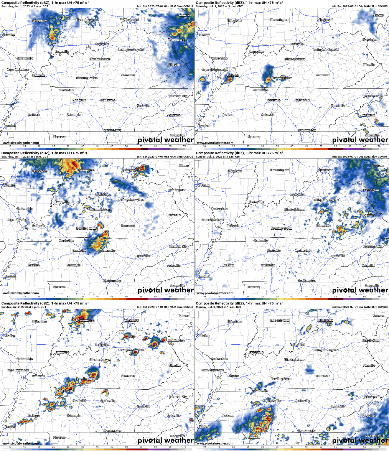
The NAM 3km displays this well. It’s valid from 9am this morning through 1am Monday. Active, to say the least…

Sporadic development of showers and storms are expected again today (most likely this afternoon & evening), complete with a strong/severe weather risk to boot.
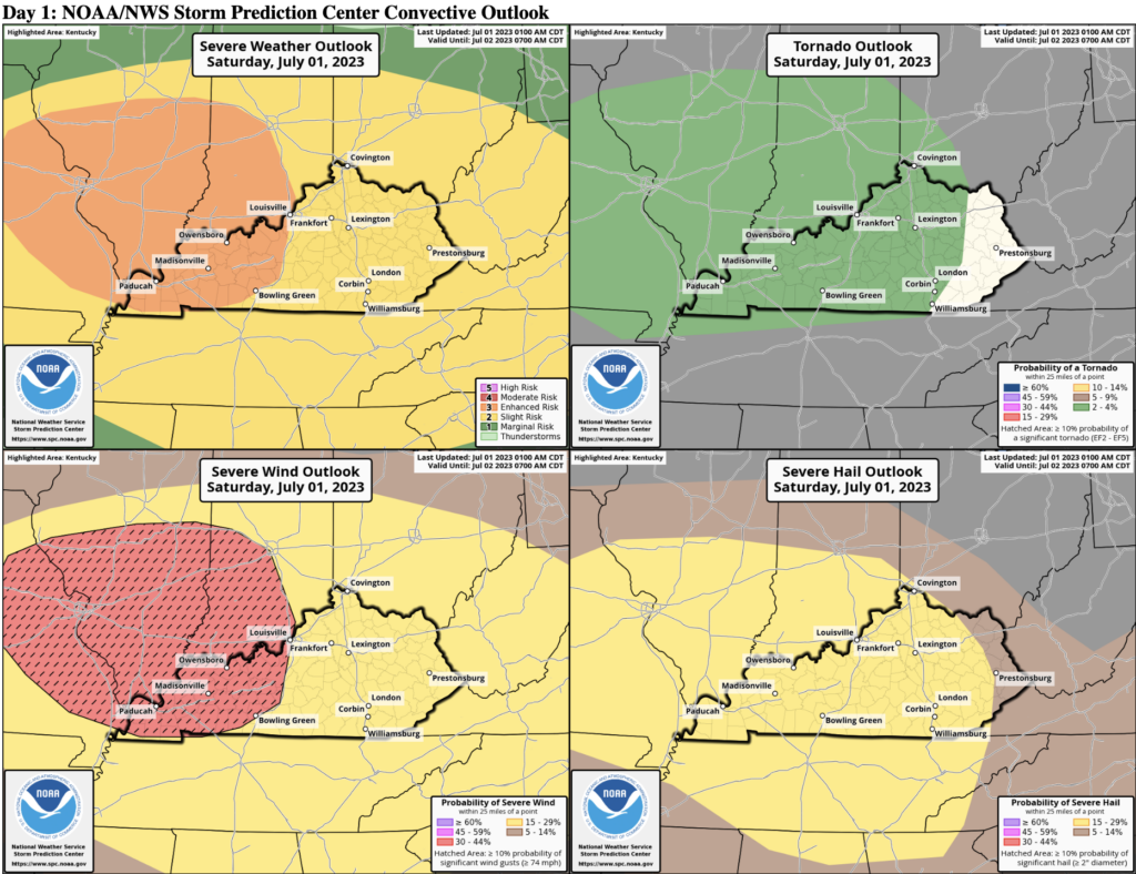
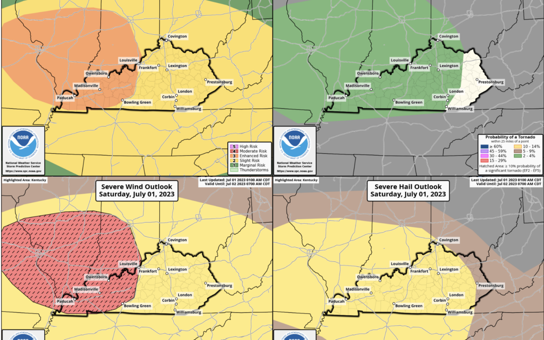
The Storm Prediction Center has placed us in an Enhanced Risk (3/5) today, with our highest concerns being damaging winds, large hail and flooding. Frequent lightning will also be present, along with an isolated tornado spin up.

The SPC outlines severe weather risks based on probabilities. For today, the probability of ‘x’ occurring within 25 miles of you is as follows:
Damaging Wind (winds of at least 58 mph): 30%
Large Hail (at least 1″ in diameter): 15%
Tornado: 2%
Another severe risk will be present tomorrow, along the same lines as today. Please stay weather aware, and keep an eye on the skies this afternoon & evening. Especially if you have outdoor plans. As always, keep up with the latest here —> @wxornotBG.

